
This Is the Route of My Forefathers: The 1837 Ioway Map
2:00 p.m.
Presented by William Green
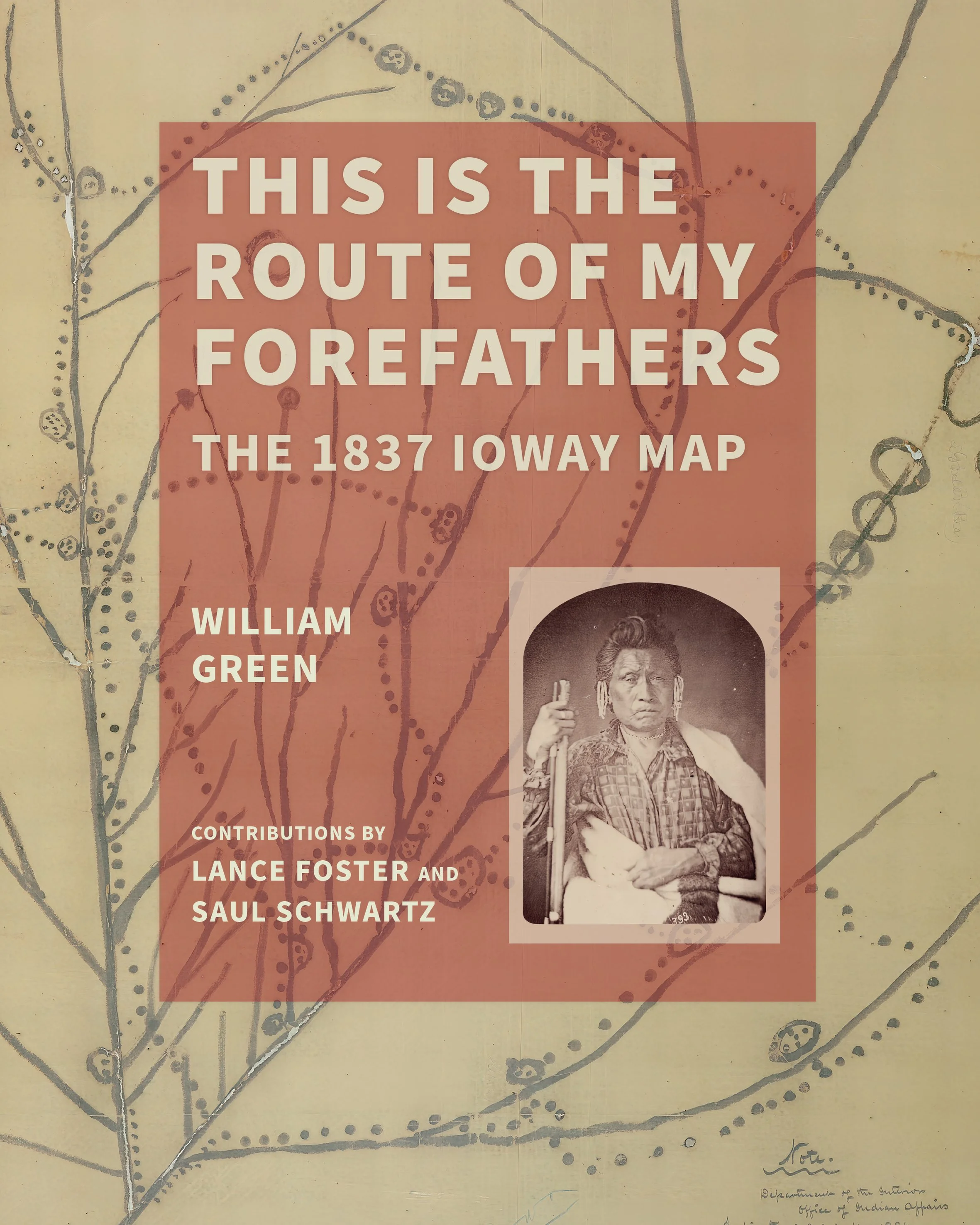
The Ioway Indians once lived throughout what is now the State of Iowa and parts of all adjoining states. To defend their land claims during the Indian Removal era, Ioway leaders made a map that depicts more than 200 years of tribal history and movement throughout the Midwest. The map depicts 54 rivers, nine lakes, and 23 settlements plus the routes connecting them.
Based on the speaker’s new book This Is the Route of My Forefathers: The 1837 Map, this presentation follows Ioway migrations as shown on that map, illustrating sites and landscapes as the Ioways knew them and as they appear today in Illinois, Iowa, Kansas, Minnesota, Missouri, Nebraska, Oklahoma, South Dakota, and Wisconsin.
This presentation is part of the Museum’s Fall Fest Celebration.